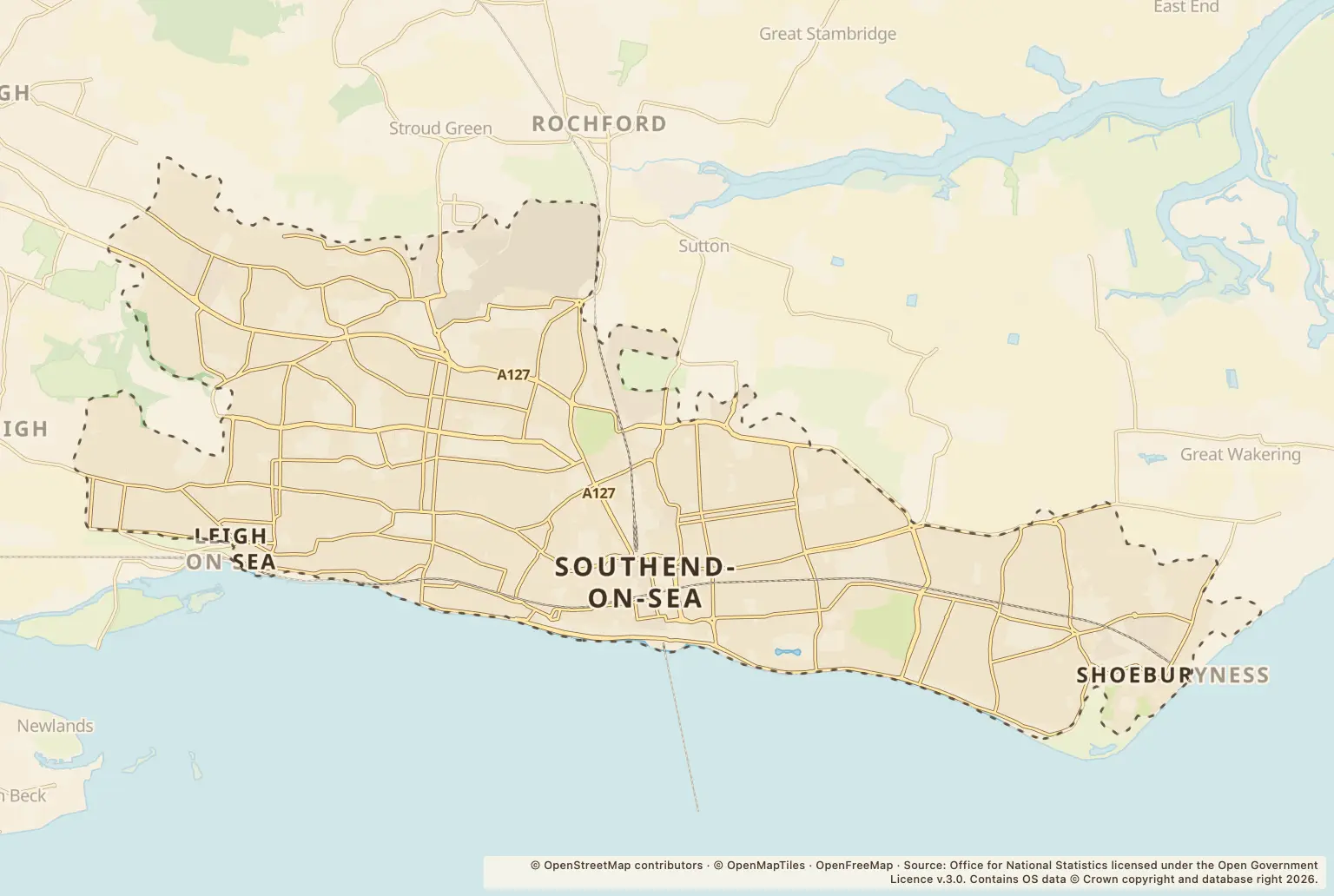
For anyone choosing where to live in Southend-on-Sea, the headline is 1,840 recorded crimes in September 2026. The figure counts reports across the town; it is not a crime rate or a measure of the risk on any particular street.
What do September's Southend-on-Sea crime figures show?
Violent crime was the largest category, with 708 offences recorded. The figures also include 241 reports of anti-social behaviour, 217 shoplifting offences and 120 public-order offences.
These are town-wide counts. They do not show how likely a resident is to experience crime, and a high count at a busy location does not by itself describe the risk to nearby homes.
How did Southend's crime count compare with earlier months?
The total was 2,168 in August 2026 and 2,319 in July 2026, before reaching 1,840 in September. For the same month in earlier years, the recorded totals were 1,606 in September 2025 and 1,487 in September 2024.
This gives a useful month-by-month comparison, but one month's count can move around. It does not explain why the figures changed or establish a long-term trend.
Which Southend locations had the most recorded offences?
The location list includes broad place types as well as named roads. Petrol stations and parking areas appear at the top; among the named streets, Great Eastern Avenue had the highest count, with 48. These are counts attached to locations, not rates for the people living nearby.
| Location | Recorded offences |
|---|---|
| Petrol Station | 117 |
| Parking Area | 106 |
| Supermarket | 65 |
| Great Eastern Avenue | 48 |
| Nightclub | 34 |
| Hospital | 28 |
| Shopping Area | 22 |
| High Street | 20 |
| Hamlet Court Road | 18 |
| York Road | 16 |
Source: police.uk, street-level crime figures for September 2026.
How can I check crime near a Southend home?
Use the police.uk crime map and neighbourhood policing team service to look up an area and find local policing information. Check the map for the specific neighbourhood you are considering, and remember that the figures shown here cover Southend-on-Sea as a whole.
About the figures
Police.uk publishes the recorded crime figures. The figures here cover September 2026; a publication date is not stated alongside them. The location list includes place types as well as roads, and the counts do not provide a population-based crime rate. This release provides no comparable figures for neighbouring towns or Essex as a whole.