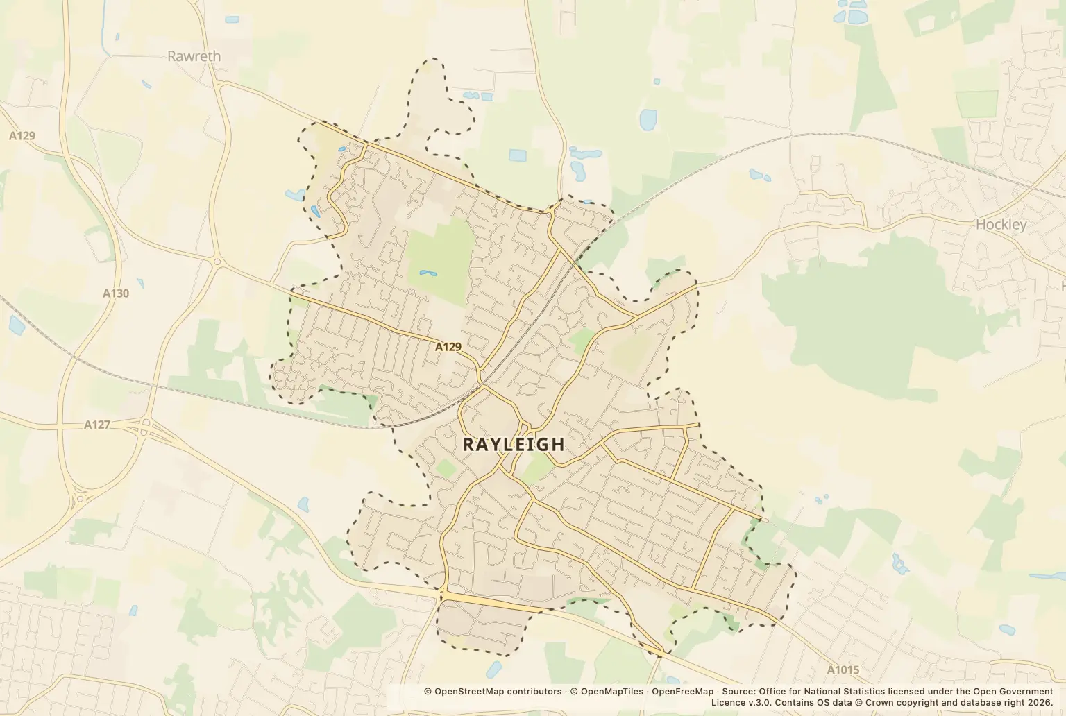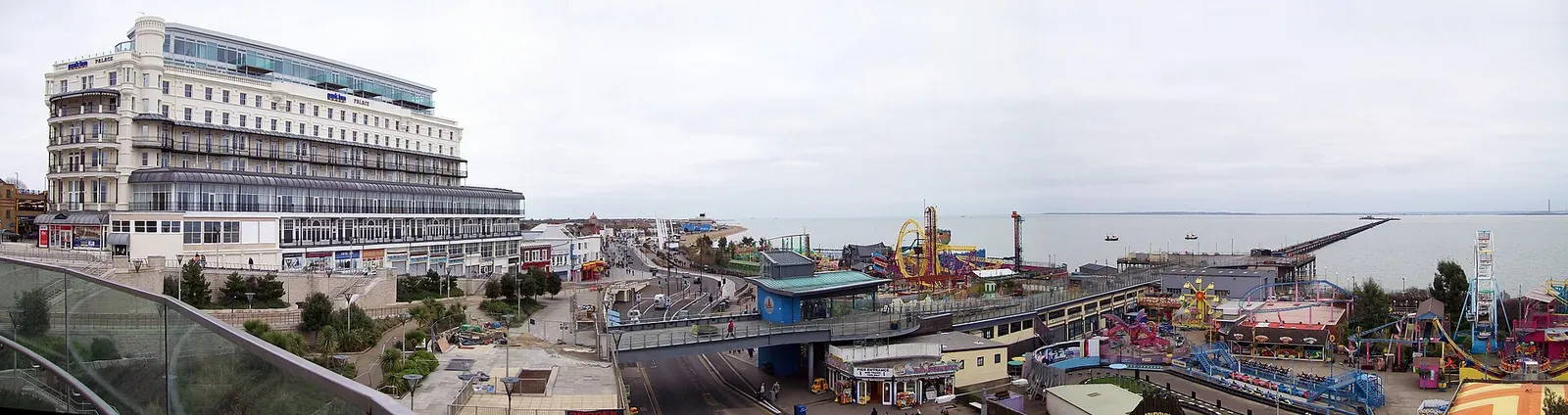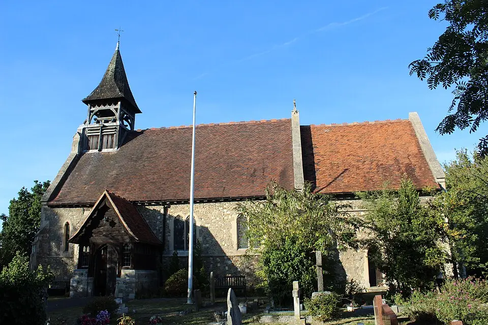
Police.uk recorded 172 crimes in Rayleigh in September 2026, up 14% from 151 in September 2025. For anyone weighing up a move, that is a monthly count, not a crime rate adjusted for the number of people living in the area.
The increase was not spread evenly across categories. Violence and sexual offences remained the largest, while some smaller categories rose sharply in percentage terms. These figures cannot show the risk at a particular home.
Which types of crime increased in Rayleigh?
The biggest percentage rises were in drugs, up 133%, and public order, up 129%. In both cases, the earlier counts were low. Other theft and vehicle crime moved in the opposite direction.
Where were crimes recorded in Rayleigh?
The counts are a prompt to check a specific area, not a ranking of how safe each street is. A small number of reports can also make a location’s count change noticeably from one month to another.
Has Rayleigh crime risen every month?
No. The September total matched August’s 172 and was below July’s 185. The highest monthly total in the figures listed for 2026 was 189 in March; January had 109.
That month-to-month movement sits alongside the year-on-year rise from 151 in September 2025. One month’s figures cannot show whether a neighbourhood is becoming safer or less safe over the longer term.
How can I check crime near a home in Rayleigh?
Use the police.uk crime map and neighbourhood policing team to check the area around a property and find local policing information. Look at more than one month and check the location labels carefully; recorded counts do not measure the likelihood of an individual being affected.
About the figures
Police.uk publishes the recorded crime figures used here. They cover September 2026, with comparisons against September 2025 where given. The release information provided does not state a publication date or whether the figures may later be revised.
Recorded counts are not a population-adjusted crime rate and do not include every incident that may have occurred. Street-level locations can be broad labels, such as “Shopping Area” or “Petrol Station”, rather than residential streets.