Police recorded 223 crimes in Wickford in September 2026, up 51% from 148 in September 2025. For people considering a move, that is a clear year-on-year rise, but it is one month’s count, not a measure of the risk to an individual household.
The monthly figures vary: August had a higher total than September. The categories and mapped locations help show what was recorded, but do not tell the whole story of safety on a particular street.
Which types of crime were recorded in Wickford?
| Crime type | September 2026 | September 2025 |
|---|---|---|
| Anti-social behaviour | 42 | 33 |
| Bicycle theft | 1 | 0 |
| Burglary | 10 | 0 |
| Criminal damage and arson | 21 | 25 |
| Drugs | 8 | 6 |
| Other theft | 6 | 6 |
| Possession of weapons | 3 | 5 |
| Public order | 9 | 6 |
| Robbery | 2 | 0 |
| Shoplifting | 24 | 10 |
| Theft from the person | 2 | 1 |
| Vehicle crime | 7 | 7 |
| Violence and sexual offences | 79 | 46 |
| Other crime | 9 | 3 |
Source: police.uk Street-level crime figures for September 2026, compared with September 2025.
Violence and sexual offences rose 72%, from 46 to 79, while shoplifting rose 140%, from 10 to 24. The pattern was not uniform: criminal damage and arson fell 16%, from 25 to 21, and vehicle crime remained at 7. Burglary went from 0 to 10 and robbery from 0 to 2; with a zero starting count, these are best read as counts rather than percentage trends.
How did Wickford’s crime figures change month by month?
September’s 223 recorded crimes were fewer than the 244 in August, but more than the 202 in July. The totals also varied earlier in 2026: February had 132, while March had 239. A single month therefore gives only a snapshot, not a steady direction of travel.
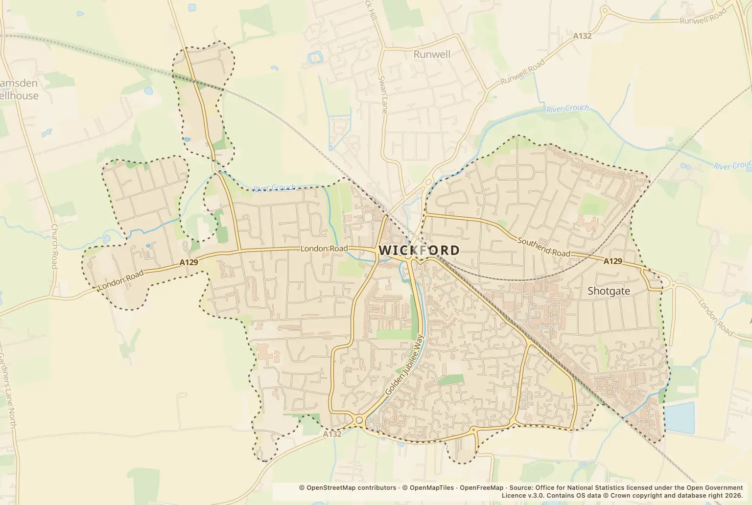
Where were crimes recorded in Wickford?
| Mapped location label | Recorded crimes in September 2026 |
|---|---|
| Petrol Station | 40 |
| High Street | 18 |
| Market Road | 10 |
| Parking Area | 9 |
| A129 | 5 |
| Ozonia Close | 5 |
Source: police.uk Street-level crime figures for September 2026.
These are police.uk location labels, not a ranking of residential streets by risk. ‘Petrol Station’ and ‘Parking Area’ describe types of place, and the figures do not show how many people use or live near each location.
How can I check crime around a Wickford home?
Use the police.uk crime map and neighbourhood policing team to check reports around a specific area and see local policing information. Compare more than one month, and treat mapped counts as context rather than a prediction about an individual home.
About the figures
police.uk publishes the Street-level crime figures. The comparison here covers September 2026 and September 2025; a publication date is not stated. These are monthly recorded-crime counts, not a population-adjusted crime rate, and mapped locations do not identify individual properties.