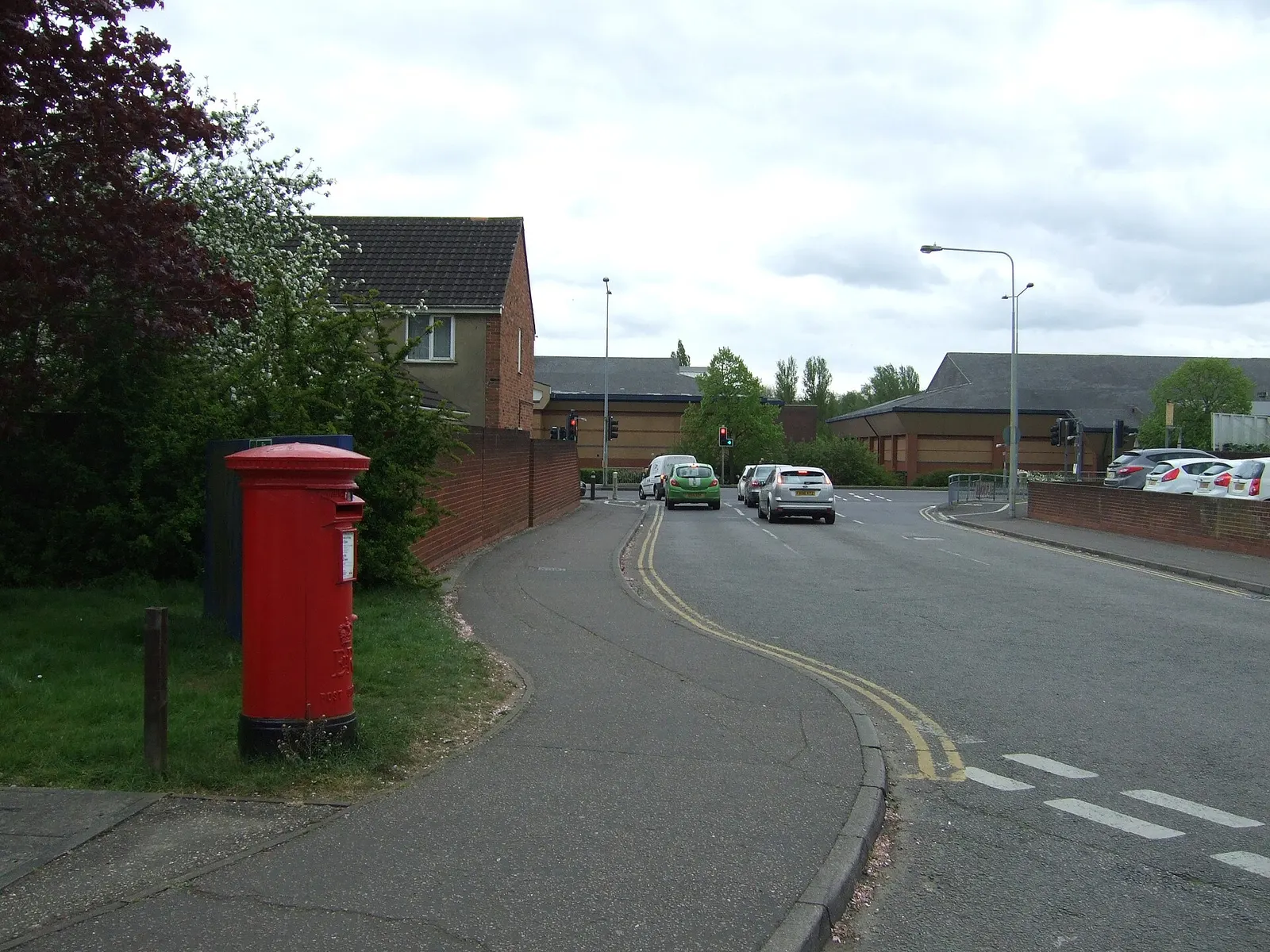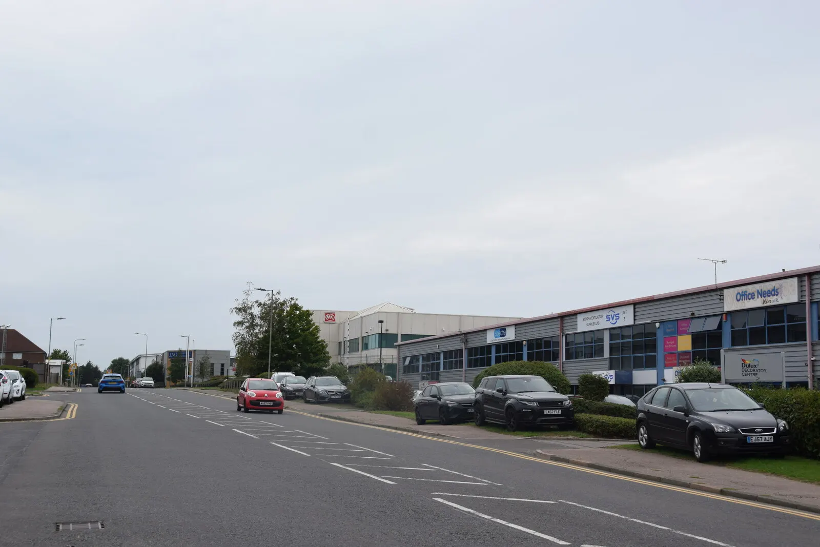
For anyone considering a home near Charter Way, the key figure is 39 recorded crimes in September 2026, the highest count among named streets in Colchester. It is a count linked to a location, not a measure of the risk to an individual home.
Which Colchester streets and locations had the most recorded crime?
| Location | Recorded crimes |
|---|---|
| Supermarket | 98 |
| Charter Way | 39 |
| Parking Area | 39 |
| Police Station | 32 |
| Shopping Area | 30 |
| Nightclub | 18 |
| George Street | 17 |
| Whaley Road | 16 |
| Vineyard Street | 15 |
| Conference/exhibition Centre | 13 |
| Culver Street West | 13 |
| St Nicholas Street | 13 |
| Sports/recreation Area | 12 |
| Chestnut Close | 11 |
| Cowdray Crescent | 11 |
Source: police.uk, Street-level crime figures for September 2026.
Charter Way was the highest-count named street, but not the top location overall. The list also includes place types such as supermarkets, parking areas and shopping areas, so its entries are not all streets or residential neighbourhoods.
How does Colchester crime in September compare with earlier months?
Police.uk recorded 1500 crimes across Colchester in September 2026, compared with 1483 in August 2026 and 1314 in September 2025. Charter Way had 39 in September, against 48 in August; its count was 34 in September 2025.
The town total and the count for one location do not move in lockstep. The monthly figures are counts, not crime rates adjusted for population or the number of people visiting an area.
What types of crime were recorded in Colchester?
Violent crime was the largest category in September, with 621 recorded offences, followed by anti-social behaviour with 222 and shoplifting with 149. In August, the corresponding counts were 613, 242 and 122.
Other categories also varied: vehicle crime was 80 in September, compared with 56 in August. These figures describe recorded offences, not the likelihood of an incident at a particular home.
What should home-hunters check before choosing an area?
Treat the street counts as a prompt to look more closely, not as a complete picture of safety. Police locations are approximate and anonymised, and a point described as “on or near” a street may cover a wider area; some incidents cannot be mapped.
Check the police.uk crime map and neighbourhood policing team for the area around a property and compare more than one month. The figures here do not provide comparable counts or crime rates for neighbouring towns, the wider council area or Essex.
About the figures
Police.uk publishes the recorded-crime figures. The street and location counts cover September 2026; the month-to-month comparison uses August 2026 and the year-on-year comparison uses September 2025. The figures give counts rather than rates and locations are approximate; the publication date for this month is not stated.