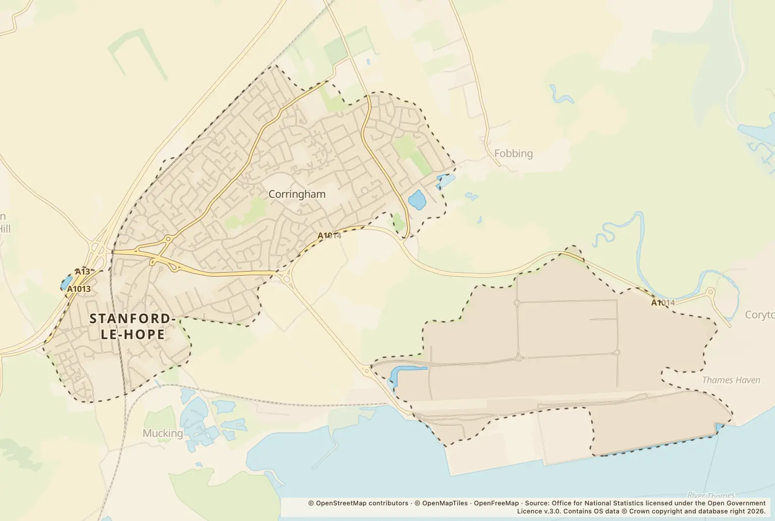
For people weighing up a move to Stanford-le-Hope, the latest figures show a rise in recorded crime: 181 offences in September 2026, up 39% on the same month a year earlier.
The largest category was violence and sexual offences, with 76 recorded. Anti-social behaviour rose from 6 to 33, while vehicle crime went from 3 to 12. These are monthly counts, not a crime rate for residents or individual streets.
Which crime types rose in Stanford-le-Hope?
The biggest rises by count were in violence and sexual offences, anti-social behaviour and vehicle crime. Burglary and drug offences were lower than in September 2025.
| Crime type | September 2026 | September 2025 | Change reported |
|---|---|---|---|
| Anti-social behaviour | 33 | 6 | Up 450% |
| Bicycle theft | 1 | 0 | — |
| Burglary | 4 | 9 | Down 56% |
| Criminal damage and arson | 15 | 13 | Up 15% |
| Drugs | 3 | 8 | Down 62% |
| Other theft | 10 | 14 | Down 29% |
| Possession of weapons | 1 | 2 | Down 50% |
| Public order | 11 | 4 | Up 175% |
| Robbery | 2 | 0 | — |
| Shoplifting | 9 | 9 | Unchanged |
| Vehicle crime | 12 | 3 | Up 300% |
| Violence and sexual offences | 76 | 59 | Up 29% |
| Other crime | 4 | 3 | Up 33% |
Source: Police.uk street-level crime figures for Stanford-le-Hope, September 2026, with September 2025 comparisons.
How do Stanford-le-Hope crime figures compare with recent months?
The September total of 181 was higher than August 2026, when 152 crimes were recorded. It was below May 2026's 201 and March 2026's 184, so September was not the highest monthly total in the recent figures.
A separate Police.uk profile for Corringham, Orsett and Stanford-le-Hope reported 248 crimes in September 2026. That profile covers a wider neighbourhood than Stanford-le-Hope alone, so it is not a like-for-like comparison with the town's 181. The figures do not provide a matching council-wide or Essex-wide total on the same basis.
Where were crimes recorded in Stanford-le-Hope?
The street-level figures list the largest location counts as a supermarket, Gordon Road and a parking area. These are recorded locations, not a measure of the likelihood of crime for a home or person nearby.
| Location label | Crimes recorded |
|---|---|
| Supermarket | 10 |
| Gordon Road | 9 |
| Parking Area | 7 |
| Nursery Road | 6 |
| Abbotts Drive | 5 |
| Baryta Close | 5 |
| Petrol Station | 5 |
Source: Police.uk street-level crime figures for Stanford-le-Hope, September 2026. Location labels include places such as a supermarket and parking area as well as street names.
How can residents check crime near a home in Stanford-le-Hope?
Use the police.uk crime map and neighbourhood policing team to look at reported crime locations and local policing information. Check more than one month, and remember that small counts can change sharply between months.
For a move, these figures are one part of the picture. They do not show a crime rate or describe the risk at a particular property.
About the figures
Police.uk publishes the monthly street-level crime figures. This report covers September 2026 and compares with September 2025; the publication details supplied do not state a publication date. Counts show recorded offences, not all crime, and do not account for population or show the risk to an individual household.