Police recorded 130 crimes in Rochford in September 2026, compared with 88 in September 2025. The total was up 48% year on year.
These are recorded counts, not a crime rate for residents. They show what was logged in Rochford, but not the chance of crime affecting a particular home.
Which crimes rose most in Rochford?
Violence and sexual offences remained the biggest category, rising from 36 to 57. Anti-social behaviour rose from 5 to 18. These are the largest categories in the September figures, but the counts alone do not explain why they changed.
Shoplifting rose from 5 to 8 and public order from 11 to 13. Drugs fell from 5 to 3, while other theft fell from 9 to 7. Vehicle crime, possession of weapons and other crime were unchanged.
How did Rochford crime compare with other months and Essex?
The September total sits between the previous two months in the figures: Rochford recorded 140 crimes in July 2026 and 106 in August 2026. A single month can move up or down, so these counts do not establish a longer-term trend.
For wider context, The Seax reported 14,592 crimes and anti-social behaviour incidents across Essex in September 2026, compared with 12,751 in September 2025. That county-wide count covers Essex Police’s 56 neighbourhood areas, so it is not a like-for-like comparison with Rochford town.
Which Rochford streets and locations had the most recorded crimes?
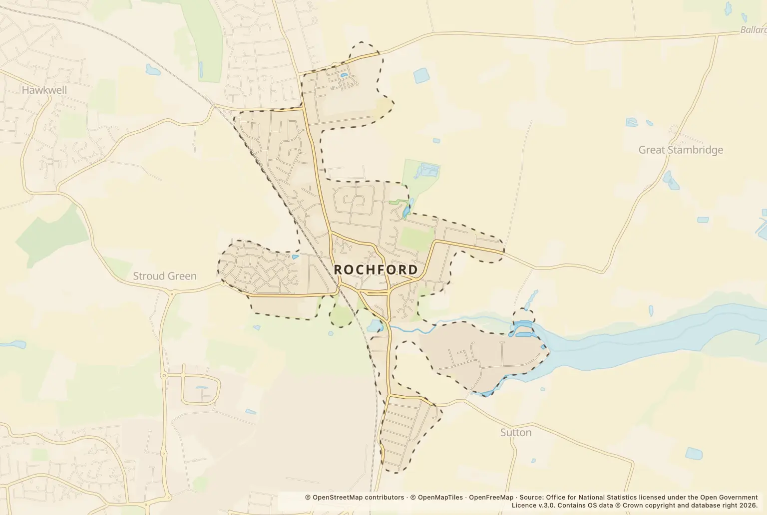
St Clare Meadow had the highest count among the named streets and locations, with 16 crimes. Station View had 10. The list also includes places such as a parking area, a petrol station and London Southend Airport, not just residential roads.
| Street or location | Recorded crimes |
|---|---|
| St Clare Meadow | 16 |
| Station View | 10 |
| Parking Area | 9 |
| Petrol Station | 8 |
| Union Lane | 6 |
| London Southend Airport | 5 |
| Ormonde Avenue | 5 |
| Pollards Close | 4 |
| Sandon Close | 4 |
Source: Police.uk, Street-level crime, September 2026.
How can I check crime near a home in Rochford?
Use the police.uk crime map and neighbourhood policing team to check the area around a property and find local policing information. You can also view the published street-level crime figures for a closer look.
Treat street counts as a prompt to check the specific location, not as a safety score. Police.uk locations are approximate, and these figures do not adjust for the number of people living, working or visiting each place.
About the figures
Police.uk publishes the Street-level crime figures used here. They cover September 2026, with September 2025 figures used for the year-on-year comparison; no publication date is given. Counts describe crimes recorded by police, not every crime that may have occurred, and they are not adjusted for population.